TRADING ECONOMICS | GIS API
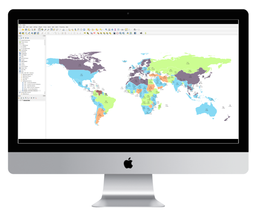
Trading Economics exposes its entire dataset as geospatial layers through the OGC API – Features standard. Every data point is delivered as a GeoJSON feature anchored to a country polygon or centroid, so you can load it directly into QGIS, ArcGIS Pro, or any OGC-compliant client — no conversion, no middleware. A single URL gives you live, queryable, styleable layers ready for choropleth mapping (see GDP Growth Map), labeling, or temporal animation alongside your existing spatial data.
Endpoints: Indicators | Markets | FRED | COMTRADE